High Level and Drone Surveys
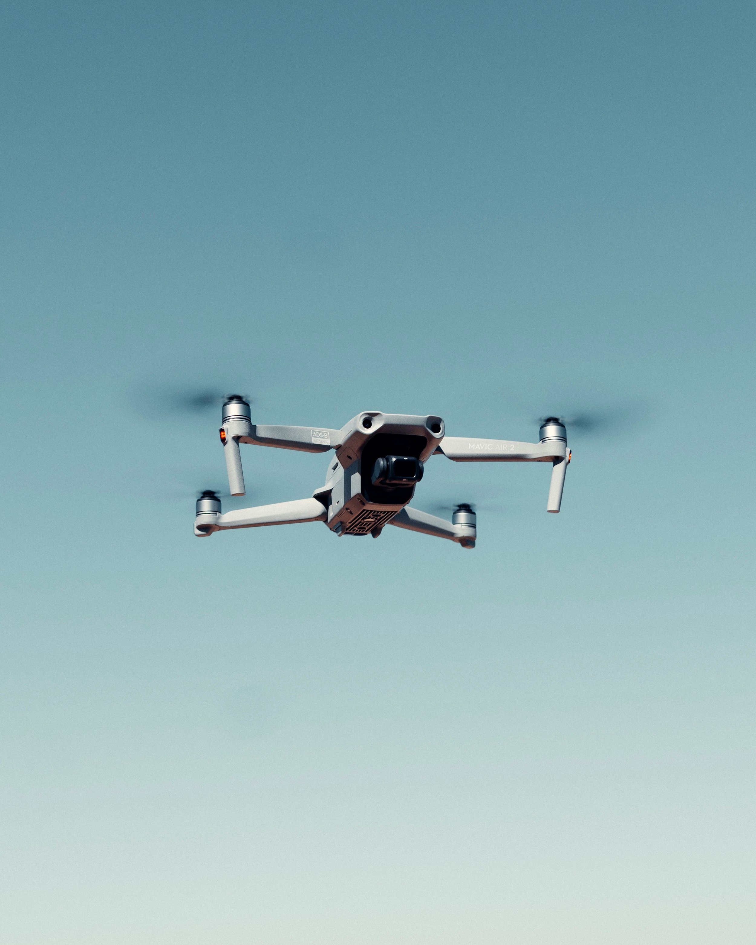
The practise has a 4m extendable mast and DJI Mini 3 Pro enable us to carry out high level inspections with ease. This equipment helps avoid the costs and delays associated with scaffolding and other means of high-level access surveys where appropriate.
The drone enables us to carry out comprehensive photographic surveys in areas which might otherwise be considered inaccessible. The drone also allows us to meet the criteria for Historic England Level 4 surveys.
Where beneficial to a project, ortho images can be created using photogrammetry, providing detailed elevations to help inform appropriate repair or alterations.
We often work with rope access firms within the County and where suitable, can carry out inspections in conjunction with them.